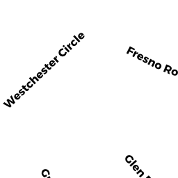
11 FRESNO RD
Owner Information
MARTINEZ ALEXANDRA ETAL
11 FRESNO RD
DEDHAM, MA 02026


Property Details
11 FRESNO RD is classified as a Single Family Residential (Colonial).
The primary structure on this property was built in 1950. There are 2,521ft2 of built area within this property. There is 2,200ft2 of residential/living space within this property. This property is listed as having 7 rooms.
11 FRESNO RD is valued at $538,200. The land is valued at $239,200 and the structures are valued at $296,300. There is an additional valuation of $2,700 on this property.
This property is in Zone B. Confirm with local Zoning Board authorities to ensure there are no overlays or other easements on this property.
The most recent deed for 11 FRESNO RD is recorded at the local registrar in Book 35015, Page 205. 11 FRESNO RD was last sold on Monday, April 3, 2017 for $350,000.
Assessment data from fiscal year 2020.
Flood Data
According to the FEMA National Flood Hazard Layer, this property does not appear to be in a flood zone. It may also be in an area not yet reviewed. Nonetheless, confirm this information prior to taking any action.
To view the flood hazards around this property, create a FEMA "Firmette" Map of the area around 11 FRESNO RD.
Broadband Internet Providers
| Provider | Type | Bandwidth (mbps) | |
|---|---|---|---|
| Crown Castle Fiber | Fiber | 0 | 0 |
| VSAT Systems, LLC. | Satellite | 2 | 1 |
| HughesNet | Satellite | 25 | 3 |
| GCI Communication Corp. | Satellite | 0 | 0 |
| RCN | Cable | 500 | 20 |
| Comcast | Cable | 1000 | 35 |
| Verizon New England Inc. | Fiber | 940 | 880 |
| Viasat Inc | Satellite | 100 | 3 |
Broadband service provider data from December 2020.
Adjacent Properties
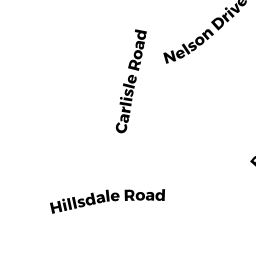
- 106 HILLSDALE RD
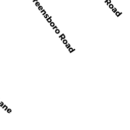
Single Family Residential owned by BRUNNER REVOCABLE TRUST - 7 GREENSBORO RD
Single Family Residential owned by PURCELL KEVIN MARK ETUX - 17 GREENSBORO RD
Single Family Residential owned by SARKAR SUBHENDRA ETUX - 17 FRESNO RD
Single Family Residential owned by BOUFFARD MATTHEW PAUL ETUX - 114 HILLSDALE RD
Single Family Residential owned by CORNETTA JOSEPH R JR ETAL